Data Collection & GIS Analyses
Accurate field and spatial data forming a reliable basis for engineering decisions.
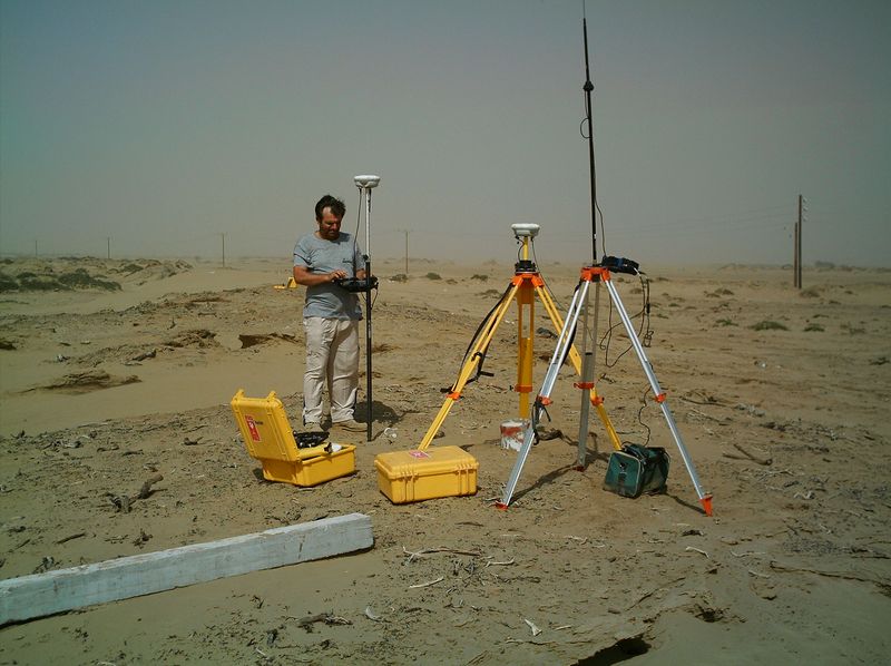
Lorenco & Co provides field data collection and GIS analyses to support planning, design, and technical decision‑making. Our work focuses on accuracy, verification, and clear technical reporting.
What we deliver
- Topographic and site surveys
- Field measurements and inspections
- Cadaster
- Geodetic measurements
- Bathymetric measurements (as required by project scope)
- Photogrammetry by drone and orthophoto production (where applicable)
- GIS analyses and spatial data processing
- Mapping, geospatial datasets, and visualization
- Data verification and validation
- Preparation of technical datasets and technical reports
- Training and support to help your team leverage GIS tools effectively
Typical outputs
- Survey deliverables (plans, coordinates, profiles, cross‑sections)
- Cadastral datasets and mapping outputs (where applicable)
- Geodetic measurement documentation and control information (where applicable)
- Bathymetric profiles/models and related technical outputs (where applicable)
- Orthophotos and photogrammetry deliverables (where applicable)
- GIS databases and structured spatial datasets
- Thematic maps and map series
- Technical reports documenting methods, controls, and results
How we support projects
We support clients by establishing reliable baselines and datasets that can be used across disciplines. Where required, we coordinate formats, coordinate reference systems, and deliverables to support integration into engineering design workflows.